Munglinup Accommodation, Hotels, Tours & Information
Places nearby Munglinup
- Bedford Harbour
- Caiguna
- Castletown
- Chadwick
- Circle Valley
- Cocklebiddy
- Condingup
- Dalyup
- Esperance
- Eyre
- Fitzgerald
- Gibson
- Grass Patch
- Haig
- Hopetoun
- Howick
- Jerdacuttup
- Kumarl
- Lake King
- Lake Magenta
- Loongana
- Madura
- Mount Madden
- Mount Merivale
- Mundrabilla
- Neridup
- Norseman
- Nulsen
- Ravensthorpe
- Rawlinna
- Red Lake
- Regional West Australia
- Reid
- Salmon Gums
- Scaddan
- Tambellup
- Truslove
- West Beach
- Zanthus
Munglinup
Munglinup is located between Ravensthorpe and Esperance on the South Coast Highway. Munglinup Beach and the Oldfield Estuary are 120 kilometres west of Esperance or 70 kilometres east of Hopetoun, approximately a seven hour drive south east of Perth. Munglinup Beach and the Oldfield Estuary area offer visitors a number of activities to explore this pristine natural area. There is easy access to the estuary/river for small boats, kayaks or canoes, a nature bush walk trail leads through bush land along the river to the ocean. Enjoy wildflowers all year round and also a good chance to view local wildlife. Munglinup Beach forms a lagoon that is protected by a reef and here you can swim or snorkel, enjoy the underwater world or just relax on the beach. Walk trails, that are suitable for everyone, meander along the estuary amongst natural bushland and wildflowers to the beach. Visit the art and craft gallery, a unique building situated on a typical farming property just eight kilometres east of Munglinup. There is also a coffee shop at the gallery. Visitors to this area are encouraged to help protect and conserve the natural beauty of the area. The local shire, along with the community of Munglinup, have a management agreement and plan to look after the camp site at the reef and to minimize environmental damage. The river reserve is protected and adjoined by nature reserves of high conservation value, like the Stokes National Park and Lake Shaster Nature Reserve. Munglinup offers motel, lodge, beach caravan park and camping options along with a number of sporting facilities, like a golf club, tennis courts and equestrian ground. A public phone and a roadhouse offer services to the travelling tourist.
Great deals on hotels in Esperance...

|
Comfort Inn Bay of Isles - Esperance  
From: A$191 More Info... |
|
Esperance Chalet Village - Esperance 
From: A$490 More Info... |
|
Esperance Island View Apartments - Esperance 
From: A$275 More Info... |
|
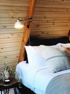
Heyscape Tiny Cabin Esperance - Esperance
From: A$492 More Info... |
|
Hospitality Esperance SureStay Collection by Best Western - Esperance 
From: A$165 More Info... |

Munglinup
Munglinup Map
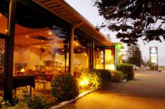
 Multiple Hotels
  Hotel
Hotel 

