Tea Tree Gully Accommodation, Hotels, Tours & Information
Places nearby Tea Tree Gully
- Aldgate
- Ashton
- Athelstone
- Balhannah
- Basket Range
- Biggs Flat
- Birdwood
- Bradbury
- Bridgewater
- Brown Hill Creek
- Brukunga
- Chandlers Hill
- Charleston
- Cherryville
- Clarendon
- Crafers
- Crafers West
- Cudlee Creek
- Eagle On The Hill
- Echunga
- Flaxley
- Forest Range
- Forreston
- Glenalta
- Greenhill
- Gumeracha
- Hahndorf
- Harrogate
- Hawthorndene
- Heathfield
- Highbury
- Hope Valley
- Humbug Scrub
- Inglewood
- Inverbrackie
- Ironbank
- Kangarilla
- Kanmantoo
- Kenton Valley
- Kersbrook
- Leawood Gardens
- Lenswood
- Littlehampton
- Lobethal
- Longwood
- Lower Hermitage
- Macclesfield
- Montacute
- Mount Barker
- Mount Lofty
- Mount Osmond
- Mount Pleasant
- Mount Torrens
- Mylor
- Nairne
- Norton Summit
- Oakbank
- Paracombe
- Piccadilly
- Sampson Flat
- Scott Creek
- Skye
- Stirling
- Summertown
- Teringie
- Tungkillo
- Upper Sturt
- Uraidla
- Verdun
- Vista
- Waterfall Gully
- Wistow
- Woodforde
- Woodside
Tea Tree Gully
The City of Tea Tree Gully is located in the north-east of metropolitan Adelaide, approximately 14 kilometres from the Adelaide Central Business District and occupies 96 kilometres square. Two thirds of the City is residential with 35,000 dwellings. Major shopping centres and commercial and industrial areas are located throughout the settled parts of the City and rural activities are still present in the Mount Lofty Ranges and foothills. A significant network of creeks traverses the City including Dry Creek, Little Creek, Cobbler Creek and the River Torrens. The City is linked to the Central Business District by two main roads, North East Road and Lower North East Road and by the O'Bahn, Australia's only guided bus way. The O'Bahn links the Modbury Regional Centre with the City of Adelaide. The area is a gateway to the Barossa Valley and the Mount Lofty Ranges and is surrounded by the cities of Port Adelaide, Enfield, Salisbury, Campbelltown, Playford and Adelaide Hills.
Great deals on hotels in Adelaide Hills...
|
Longview Vineyard - Macclesfield  
From: A$210 More Info... |
|
Sequoia - Crafers 
From: A$2013 More Info... |
|
The Manna - Hahndorf 
From: A$208 More Info... |
|
The Studios - Hahndorf
From: A$272 More Info... |
Tea Tree Gully Map
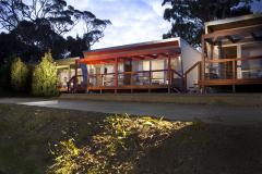
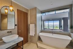
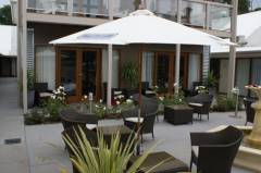
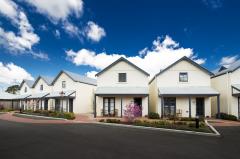
 Multiple Hotels
  Hotel
Hotel 

