Jerramungup Accommodation, Hotels, Tours & Information
Places nearby Jerramungup
- Albany
- Amelup
- Bayonet Head
- Borden
- Bornholm
- Bow Bridge
- Boxwood Hill
- Bremer Bay
- Broomehill
- Cape Richie
- Carbarup
- Centennial Park
- Chorkerup
- Collingwood Heights
- Collingwood Park
- Cranbrook
- Denbarker
- Denmark
- Dillon Bay
- Elleker
- Emu Point
- Frenchman Bay
- Gairdner
- Gledhow
- Gnowangerup
- Gnowellen
- Golden Hill
- Green Range
- Harewood
- Kalgan
- Katanning
- Kendenup
- Kentdale
- Kenton
- King River
- Kojaneerup
- Kojonup
- Kronkup
- Lake Toolbrunup
- Little Grove
- Lockyer
- Lower Kalgan
- Lower King
- Lowlands
- Manypeaks
- Mckail
- Mettler
- Middleton Beach
- Millbrook
- Milpara
- Mira Mar
- Mount Barker
- Mount Elphinstone
- Mount Melville
- Nanarup
- Napier
- Narrikup
- Needilup
- Nornalup
- Ongerup
- Orana
- Oyster Harbour
- Pardelup
- Peaceful Bay
- Pootenup
- Porongurup
- Port Albany
- Redmond
- Regional West Australia
- Seppings
- Somerset Hill
- Spencer Park
- Teddington
- Tenterden
- Toolbrunup
- Toompup
- Torbay
- Tunney
- Upper Kalgan
- Walmsley
- Wansborough
- Warriup
- Wellstead
- Woogenilup
- Yakamia
- Youngs
Jerramungup
About a three hour drive north east of Albany, in the state's south, is Jerramungup, the western gateway to the Fitzgerald River National Park. Jerramungup was developed as a war service settlement area in 1953 and officially became a shire on the 1 July 1982. A country town situated at the T junction of two major highways, the South Coast Highway and the Esperance to Jerramungup Highway, it is easily accessible by car. The town is situated in an agricultural district supporting the production of sheep, wool, grains and fresh water crayfish. The district has also diversified into the tourism and fish processing industries. In town see All Saints Church built in 1967 and the Town Hall known as the モRoot Pickers Hallヤ. This name came about because the Hall was paid for through volunteers picking mallee roots. Nearby Roe Park was named after John Septimus Roe who was the first Surveyor General. Lions Park is an attractive tree-shaded park with electric barbecue, picnic facilities, and is the starting point, for the Jerramungup Heritage Trail encompassing the Tourist Information Centre, Old Powerhouse, former War Service Office, Jerramungup Town Hall, Major Colin Cameron Plaque in Roe Park, All Saints Community Church and the Shire of Jerramungup Administration Building. There is hotel, motel, bed and breakfast and caravan park accommodation available.
Great deals on hotels in Great Southern...
|
Best Western The Clarence On Melville - Albany 
From: A$145 More Info... |

|
Best Western The Clarence On Melville - Albany 
From: A$166 More Info... |
|
Chimes Spa Retreat - Denmark  
From: A$329 More Info... |
|
Sleepwell Motel - Albany  
From: A$174 More Info... |
|
The Beach House Bayside Albany - Albany
From: A$425 More Info... |

Jerramungup
Jerramungup Map
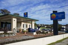
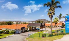
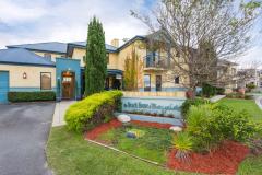
 Multiple Hotels
  Hotel
Hotel 

