Moonah Accommodation, Hotels, Tours & Information
Places nearby Moonah
- Acton
- Adventure Bay
- Allens Rivulet
- Alonnah
- Andover
- Antill Ponds
- Apsley
- Austins Ferry
- Baden
- Bagdad
- Barnes Bay
- Barretta
- Battery Point
- Bellerive
- Berriedale
- Bicheno
- Birchs Bay
- Black Hills
- Blackmans Bay
- Bonnet Hill
- Bothwell
- Boyer
- Bream Creek
- Bridgewater
- Brighton
- Broadmarsh
- Brooks Bay
- Bruny Island
- Buckland
- Bushy Park
- Cairns Bay
- Cambridge
- Campania
- Carlton
- Carlton Beach
- Cascades
- Castle Forbes Bay
- Catamaran
- Chigwell
- Claremont
- Clarence
- Clarendon Vale
- Clifton Beach
- Cloudy Bay
- Colebrook
- Coles Bay
- Collins Cap
- Collinsvale
- Coningham
- Connellys Marsh
- Copping
- Cornelian Bay
- Crabtree
- Cradoc
- Cranbrook
- Cremorne
- Cygnet
- Deep Bay
- Dennes Point
- Derwent Laken
- Derwent Park
- Dodges Ferry
- Domain
- Double Creek
- Dover
- Dowsing Point
- Dromedary
- Dulcot
- Dunalley
- Dynnyrne
- Dysart
- Eaglehawk Neck
- East Risdon
- Eggs And Bacon Bay
- Elderslie
- Eldon
- Electrona
- Ellendale
- Elwick
- Feilton
- Fentonbury
- Fern Tree
- Flagstaff Gully
- Forcett
- Fort Direction
- Fortescue Bay
- Franklin
- Freycinet National Park
- Gagebrook
- Garden Island Creek
- Gardners Bay
- Geeveston
- Geilston Bay
- Glaziers Bay
- Glebe
- Glen Huon
- Glendevie
- Glenfern
- Glenlusk
- Glenora
- Glenorchy
- Goodwood
- Gordon
- Granton
- Grasstree Hill
- Gretna
- Grove
- Hamilton
- Hastings
- Hayes
- Highcroft
- Hobart
- Hobart Airport
- Howden
- Howrah
- Huntingfield
- Huonville
- Interlaken
- Jericho
- Judbury
- Kaoota
- Karanja
- Kellevie
- Kempton
- Kettering
- Killora
- Kingston Beach
- Koonya
- Lachlan
- Lake Leake
- Lauderdale
- Lemont
- Lenah Valley
- Leslie Vale
- Levendale
- Lewisham
- Lindisfarne
- Little Swanport
- Llandaff
- Lollara
- Longley
- Longley Lower
- Lonnavale
- Louisville
- Lowdina
- Lower Marshes
- Lower Sandy Bay
- Lucaston
- Lunawanna
- Lune River
- Lutana
- Lymington
- Macquarie Plains
- Magra
- Malbina
- Mangalore
- Margate
- Maria Island
- Maydena
- Melton Mowbray
- Merton
- Middleton
- Midway Point
- Molesworth
- Mona Vale
- Montagu Bay
- Montrose
- Moogara
- Moonah West
- Mornington
- Mount Field
- Mount Lloyd
- Mount Nelson
- Mount Seymour
- Mount Stuart
- Mountain River
- Murdunna
- Nala
- National Park
- Neika
- New Norfolk
- New Town
- New Town Bay
- Newtown
- Nicholls Rivulet
- Nierinna
- North Hobart
- Nubeena
- Nugent
- Oakdowns
- Oakwood
- Oatlands
- Old Beach
- Opossum Bay
- Orford
- Orielton
- Otago
- Ouse
- Oyster Cove
- Parattah
- Park Beach
- Pawleena
- Pawtella
- Pelham
- Pelverata
- Penna
- Petcheys Bay
- Plenty
- Police Point
- Pontville
- Port Arthur
- Port Huon
- Premaydena
- Primrose Sands
- Prince Of Wales Bay
- Radnor
- Raminea
- Randalls Bay
- Ranelagh
- Ravensdale
- Regional TAS
- Rekuna
- Rheban
- Rhyndaston
- Richmond
- Ridgeway
- Risdon
- Risdon Cove
- Risdon Vale
- Roches Beach
- Rokeby
- Rose Bay
- Rosegarland
- Rosetta
- Rosny
- Rosny Park
- Ross
- Royal George
- Runnymede
- Saltwater River
- Sandfly
- Sandford
- Sandy Bay
- Seven Mile Beach
- Shelly Beach
- Simpsons Bay
- Snug
- Sorell
- Sorell Creek
- Sorrell
- South Arm
- South Hobart
- Southport
- Spring Beach
- Springfield
- Stewarts Bay
- Stonehenge
- Stonor
- Stormlea
- Strathblane
- Surges Bay
- Swansea
- Swanwick
- Taranna
- Taronga
- Taroona
- Tasmania East Coast
- Tea Tree
- Teatree
- Tiberias
- Tinderbox
- Tranmere
- Triabunna
- Tunbridge
- Tunnack
- Upper Woodstock
- Uxbridge
- Verona Sands
- Warrane
- Waterloo
- Wattle Grove
- Wattle Hill
- West Hobart
- Westerway
- White Beach
- Whitefoord
- Woodbridge
- Woodbury
- Woodsdale
- Woodstock
- Yarlington
- York Plains
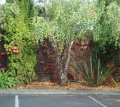
Moonah
A residential and commercial suburb 5km north of the Hobart CBD, Moonah was originally known as South Glenorchy and, with its colonial racecourse and village common, was a popular picnic retreat for early settlers. Moonah, which takes its name from the local Aboriginal word for gum tree, experienced a residential development surge in the early 1950s Hobart housing boom. Much of the land between the suburb and the city centre is taken up by the Queen's Domain, which embraces the Royal Tasmanian Botanical Gardens, Government House, sports fields and children's playgrounds. The gardens - featuring a large collection of native Tasmanian plants, the historic Arthur Wall built in 1829 and the Rossbank Observatory built by Governor Franklin in 1840 - once included a certain Martin Cash among its overseers. Cash, a distant relative of Australia's last men's Wimbledon singles champion, Pat Cash, was not only a noted green thumb, but he was also one of Tasmania's most notorious bushrangers. A cycle track skirts the Derwent River through this mid-city green belt.
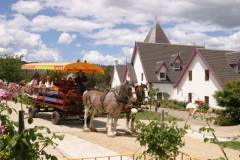
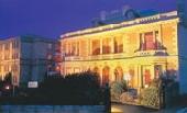
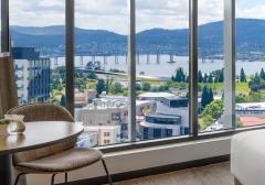
Great deals on hotels in Hobart and Sth East...
|
Aquila Eco Retreat - Richmond 
From: A$339 More Info... |
|
Bay Hotel Apartments - Sandy Bay 
From: A$143 More Info... |
|
Beachfront Bicheno - Bicheno 
From: A$235 More Info... |

|
Best Western Hobart - Hobart   
From: A$154 More Info... |
|
Bruny Island Escapes - Alonnah
From: A$213 More Info... |
|
Carlyle Hotel - Hobart 
From: A$134 More Info... |
|
Curringa Farm - Hamilton 
From: A$300 More Info... |
|
Grosvenor Court Apartments - Sandy Bay
From: A$285 More Info... |
|
Hatchers Manor - Richmond 
From: A$165 More Info... |

|
Hunter Huon Valley - Glen Huon 
From: A$599 More Info... |

|
ibis Styles Hobart - Hobart
From: A$163 More Info... |

|
Iron Creek Bay Farm Stay - Sorell
From: A$170 More Info... |
|
Lenna of Hobart - Hobart 
From: A$355 More Info... |
|
Lufra Beachside Hotel - Eaglehawk Neck
From: A$160 More Info... |
|
Movenpick Hotel Hobart - Hobart
From: A$180 More Info... |
Moonah Map
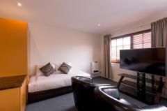
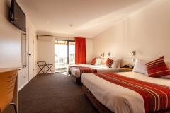
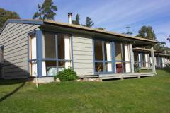
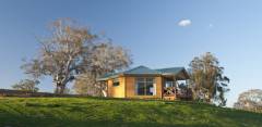
 Multiple Hotels
  Hotel
Hotel 

